Challenge
The development of technologies, international co operations and environmental management require climatological databases covering large area. It causes problems especially in smaller countries, because the national (hydro)meteorological services have different measuring networks, instruments, data management tools and data quality control methods. These differences could lead to inhomogeneities in the climatological fields and they could bias the results.
Objectives
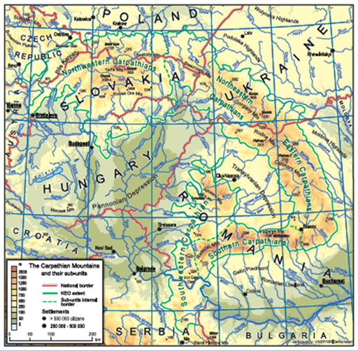
The main aim of the project is to improve the basis of climate data in the Carpathian Region for applied regional climatological studies such as a Climate Atlas and/or drought monitoring, to investigate the fine temporal and spatial structure of the climate in the Carpathian Mountains and the Carpathian basin with unified methods. Therefore, a freely available, high resolution gridded database has been produced for the Larger Carpathian Region (LCR).
For this purpose, the project contains three modules with the objectives:
- Module 1: Improve the availability and accessibility of a homogeneous and spatially representative time series of climatological data for the LCR through data rescue, quality control, and data homogenization.
- Module 2: Ensure Carpathian countries data harmonization with special emphasis on across-country harmonization and production of gridded climatologies per country.
- Module 3: Develop a Climate Atlas as the basis for climate assessment and further applied climatological studies as well as for drought monitoring in the LCR in the frame of the European Drought Observatory.
Recognizing the need of a unified climate database in the LCR, the following boundary conditions have been detected:
- respect the existing national data policies
- have access to the most possible data
- exchange the minimum needed data
- using common software for data quality/homogenization and interpolation/gridding
- each country provides the same work
Applied homogenization and data quality method/software: Multiple Analysis of Series for Homogenization (MASH)
Applied interpolation and gridding method/software: Meteorological Interpolation based on Surface Homogenized Database (MISH)
Timeframe
1961-2010
Spatial range
Climatological grids cover the area between latitudes 44°N and 50°N, and longitudes 17°E and 27°E
Temporal resolution:
1 day
Spatial resolution
0.1˚ x 0.1˚
Participants:
- Hungarian Meteorological Service (leading organisation)
- Central Institute for Meteorology and Geodynamics, Austria
- Meteorological and Hydrological Service of Croatia
- Czech Hydrometeorological Institute
- Institute of Meteorology and Water Management - National Research Institute, Poland
- National Institute for Research and Development in Environmental Protection of Romania
- Republic Hydrometeorological Service of Serbia
- Slovak Hydrometeorological Institute
- Ukrainian Research Hydrometeorological Institute
- Szent Istvan University, Hungary